
Mercer Island Neighbor Sources
The block around a Mercer Island address appears in layers. King County Parcel Viewer supplies parcel outlines and report links. eReal Property adds the recorded owner, legal description, and building or value context. The linked Districts and Development Conditions report adds planning, electoral, zoning, and critical-area designations. City GIS can expose permit, land-use, sewer, geotechnical, and aerial records. These are property facts. They do not establish every occupant or person physically present.
| Source | What It Shows About a Block | Access |
|---|---|---|
| King County Parcel Viewer | Adjacent outlines, parcel numbers and report links | Free map, click and zoom |
| eReal Property | Recorded owner, legal, building and value context | Parcel or account report |
| Mercer Island GIS | Permit, land-use, sewer and aerial project files | Address or parcel; request fallback |
| Voter statutory file | Limited fields for registered voters at addresses | County or state request; restrictions apply |
| Map Your Neighborhood | Voluntary preparedness contacts and assets | Private participant distribution |
Recorded ownership may belong to a trust, company, or person with a tax mailing address elsewhere. An occupant may not own the parcel. Treat owner and occupant as separate facts. The full named-street chain belongs in the Mercer Island street directory; neighbor research stays focused on the few parcels immediately around the starting address.
Click Around Mercer Island Parcels
Open King County Parcel Viewer, search the known address, and zoom until individual tax lots are distinct. Click the starting parcel and copy its ten-digit number, legal description, and report date. Then select each parcel sharing an edge. A lot that looks adjacent may be separated by right of way, a condominium interest, or a subdivision boundary, so confirm the legal description before calling it next door.
- Find the address and record the parcel number shown by the selected polygon.
- Open eReal and Districts and Development Conditions from the parcel result.
- Click each surrounding lot and log owner, mailing-versus-site address, legal description, and report date.
- Check city property documents only for the parcels relevant to the block question.
The official viewer's map interface shows why a parcel-by-parcel pass is more accurate than guessing from house numbers.
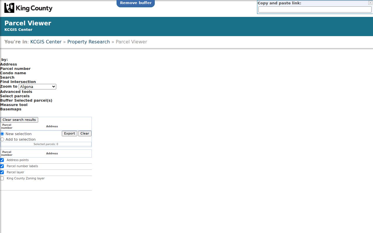
The visible parcel geometry supplies the immediate-block frame, while linked reports provide facts tied to each selected lot.
Mercer Island Block Worksheet
A short worksheet reduces false matches when several owners share a surname or a mailing address differs from the site address. Record the source date because assessor and city data can change. For historical property cards, first convert the current address into a parcel number or subdivision, block, and lot. The archives cannot retrieve those cards by street address alone.
- Parcel
- A tax lot identified by a county number, not a household.
- Situs address
- The physical site address, which may differ from the tax mailing address.
- Legal description
- The plat, lot, block, or other land description used in recorded instruments.
- Report date
- The date the displayed public data was produced or last refreshed.
Note: Save parcel numbers before leaving the map because they bridge modern addresses to older Mercer Island property and archive files.
Map Mercer Island Neighbor Owners
The clean process is address to parcel, parcel to eReal, then parcel to recorded instruments or city documents. eReal's owner and mailing fields describe the tax account. A deed or plat in Landmark can explain title or association restrictions, but it still does not list current household members. Keep each claim tied to its source.
- Enter the address in King County Parcel Viewer and select its polygon.
- Walk outward one ring, clicking every parcel that shares a boundary or faces the same short block.
- Compare the site and tax mailing addresses without assuming they prove owner occupancy.
- Use Landmark plats or covenants only when a legal block or association question remains.
For pre-1991 recorded images, the documented fallback is King County Archives microfilm. Parcel search in Landmark reaches only 1997 forward, so older work requires names and legal descriptions. That cutoff keeps a block search from becoming a false promise of complete online history.
Mercer Island Block Documents
The Mercer Island property research page points to permits, historical zoning, aerials, and State Archives property cards. In city GIS, select a parcel and use “Click for Property Documents.” Land-use files require the Property and Land Use layer plus Point Identify. If the electronic file is absent, NextRequest is the stated fallback.
Town Center and shoreline parcels can need extra care. Town and City governments operated separately from 1960 until their 1970 merger, and many Town records were not retained. Shoreline aerials, permits, deeds, and assessor cards may therefore explain a block better than one city index. Informal area names such as North Mercer or Mercerwood are not verified legal boundaries.
Mercer Island Voter Block Limits
Washington's public voter fields can include name, address, political jurisdiction, gender, birth year, participation record, registration date, and registration number. Participation does not reveal ballot choices. The My Voter Information form requires any three of first name, last name, birth date, and house number. It is not a browseable block roster.
A defined public-list request goes to the state or county under RCW 29A.08.105 and should state the precinct, date, and requested fields. Original forms, full birth dates, IDs, Social Security numbers, and protected voter details remain confidential. RCW 29A.08.720 also bars advertising and solicitation use. Do not rebuild a household from a handful of individual form matches.
Mercer Island Community Contacts
Public community pages can help identify a group serving the block, but they are not resident rolls. The city-backed Map Your Neighborhood program is the closest local block layer. Groups typically involve about 15 to 25 households and may map emergency resources, meeting sites, and households needing aid. Their voluntary contact sheet stays with participants and is solely for preparedness and prevention.
Map Your Neighborhood
City preparedness training and participant-held contact sheets. Program contact: Amanda Keverkamp, 206-275-7905.
Mercer Island Chamber
Search voluntary member businesses, not home occupants or a complete block.
Historical Society
Community-club files and local archives may add older neighborhood context.
Neighborhood Watch, school PTAs, congregations, clubs, and associations may publish a board or event contact. No verified citywide HOA inventory exists. Use a recorded plat or covenant to identify the association tied to one parcel, then use only its own public contact page.
Official Mercer Island Block Records
Commercial neighbor tools combine old and inferred data. Official rolls are narrower, dated, and tied to a custodian. The tradeoff is worth stating plainly.
| Source type | Strength | Limit |
|---|---|---|
| County or city record | Named custodian, parcel or file identifier | Shows only the legal purpose of that record |
| Voluntary community contact | Current civic or preparedness purpose | Private unless the group publishes it |
| Commercial compilation | May combine many clues | Unverified, stale, and not an official source |
For Mercer Island neighbors, favor the first two sources and never copy a private list into a new directory. Confirm a fact with the office or group that created it.
Mercer Island Neighbor Privacy
No official source guarantees who is inside a home. Owners may live elsewhere, and occupants may include guests or people absent from title. Utility, delivery, and DMV information is private. Washington's Address Confidentiality Program also shields actual location details for qualifying survivors and threatened public workers. New agency and voter records use a substitute address, and protected voters do not appear in the ordinary public voter database.
Publish as little personal detail as the lawful purpose needs. A parcel number and link can explain an ownership source without reproducing signatures or a full deed image. Public association contact information remains tied to the group's civic purpose. Private MYN sheets, school lists, and member rosters should not be copied or shared.
Lawful use. Learn about a Mercer Island block for personal, civic, or safety purposes. Never use records to stalk, harass, intimidate, or track another person.