
Walk a Mercer Island Street
Begin with one complete street address, including its directional suffix. King County distinguishes the situs, or physical property address, from the tax mailing address. The King County Parcel Viewer turns a street number into a parcel and lets a researcher click the lots beside it. Each selected parcel can lead to an assessor report and a Districts and Development Conditions report. The map is the practical front door to a Mercer Island street directory, while the official records behind it supply names and dates.
- Enter the full address in Parcel Viewer and note the parcel number, legal description, and report date.
- Click nearby parcels one at a time. Do not assume that one tax lot equals one street number.
- Open eReal Property for the recorded owner, land facts, building facts, and sale context.
- Use the parcel number or owner name in Landmark, then follow deeds from grantee to grantor.
- Check individual voter information only when the required facts are known. Use reverse directories for earlier occupants.
Ownership is the strongest public address link, but it is not the same as residence. A trust, estate, company, or person at another mailing address may own a Mercer Island parcel. A family member or other occupant may never appear on the deed. Record each source and date so the street-by-street result does not blur those roles.
Start with one parcel and expand only as far as the question requires. That keeps the Mercer Island street directory accurate, readable, and tied to records a custodian can confirm.
Mercer Island Records by Address
No single roll is a complete list of people on a Mercer Island street. Each source answers a smaller question. The county assessor identifies an owner of record; recorded instruments establish transfers and claims; city files document property work; voter data confirms one registration under state rules; old directories may name an occupant for the edition year.
| Address source | Custodian | What it can establish | Access route |
|---|---|---|---|
| Parcel report | King County Assessments | Owner, legal description, land and building facts | Parcel Viewer, then eReal |
| Recorded documents | King County Recorder | Deeds, liens, plats, easements, and party roles | Landmark, phone, mail, counter, or Archives |
| Property documents | City of Mercer Island | Retained permits and land-use files | City GIS, MyBuildingPermit, or NextRequest |
| Voter information | King County Elections | A matched individual's registration facts | Individual lookup or lawful file request |
| Historical directories | State Library and Archives | Listed occupants in selected years | Catalog and on-site volumes |
A parcel number joins the map, assessor report, Recorder index, city permits, and archival property card. The voter system is not a block browser, and directory runs are uneven. Combining dated records is more reliable than treating one hit as a current household list.
Mercer Island Street Search Fields
The county map and assessor report do different jobs. Parcel Viewer accepts an address, parcel number, or map click. The eReal Property landing page requires a tax account or parcel number and does not expose an owner-name field. A street directory search moves from address to map to parcel report, not from a surname straight into eReal.
| Control | Input | Required | Result |
|---|---|---|---|
| Viewer address | Street number and name | Not stated | Selects a parcel |
| Parcel number | Tax account | Yes in eReal | Opens the report |
| Map click | Visible tax lot | No | Browses nearby parcels |
| Public-use gate | Acknowledgement | Yes | Confirms use limits |
The card can show owner, legal description, zoning, land area, present use, utilities, building count, size, age, values, and sales context. Fields vary. It may also show a mailing address unlike the property address, so copy and label both.
Map Mercer Island Streets Together
Parcel Viewer suits a block walk because adjoining lots stay visible after the first address resolves. Zoom in, select each parcel, and save its number and legal description. The linked district report adds electoral, planning, and critical-area context. It does not name every person nearby. Keep a worksheet with one row per lot and a date for each report. This map stage gives the street directory its orderly lot-by-lot frame.
Open the live King County parcel map before reviewing the captured interface.
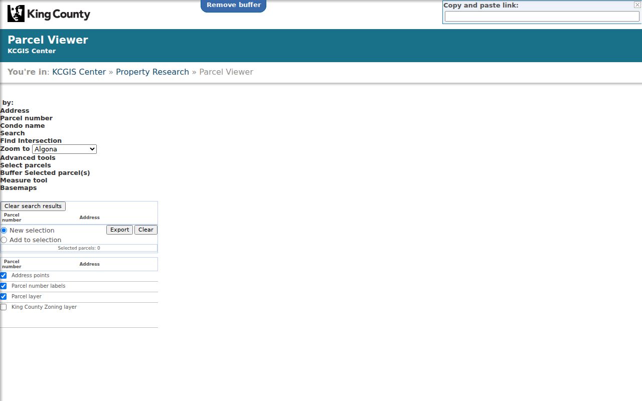
The map supplies the spatial link between a street number and county reports holding owner, land, and building details.
Note: A map boundary aids research, while the parcel number and legal description are stronger keys for recorded documents.
Mercer Island Street Record Terms
Several terms matter when a modern address changes or fails. Define them before moving data between street directory sources.
- Parcel
- A tax lot identified by the county; one building or address does not always equal one parcel.
- Situs address
- The physical property address, unlike the address used for tax mail.
- Plat
- A recorded map dividing land into lots and blocks with stable legal labels.
- Criss-cross directory
- A directory arranged by street number so an address leads to a listed occupant.
Older sources may place island residents under Seattle, East Seattle, a rural route, or King County. The legal description can bridge those labels when a current street form does not.
Mercer Island Deeds Along Streets
The King County Recorder search explains the online boundary. Most documents from August 1, 1991 forward are online, while parcel search reaches 1997 forward. Landmark also offers name, document type, book and page, recording number, date, legal, advanced legal, Torrens, and plat modes. These instruments give the street directory a dated title trail.
For one lot, use its first ten parcel digits with “Starts With.” Inspect deeds instead of assuming every item transfers title. A grantor gives an interest; a grantee receives it. Once a purchase deed is found, search the seller as grantee for that party's earlier purchase. Repeat the method lot by lot. Landmark bans automated high-volume queries and data mining, and filters must be reapplied on each results page.
When the index ends, King County Archives holds pre-1991 microfilm. The Recorder also supports copies online, by phone, mail, and at its Seattle counter. Those routes matter when an image fails or a certified copy is needed.
Mercer Island Permits by Street
The city's property research page links historic zoning maps, aerial images, cards, and permit routes. In the public GIS viewer, search an address or parcel, select it, then choose “Click for Property Documents.” For land-use records, turn on Property, then Land Use, and use Point Identify.
Open the Mercer Island GIS map to compare the live tool with the captured view.

The map connects a selected parcel to retained electronic documents, while missing files move to the request channel.
MyBuildingPermit searches permit status by address or project details, but no start year was documented. If GIS lacks a file, use Mercer Island NextRequest. The city also accepts requests by mail, phone, fax, email, or in person and gives an initial response within five business days.
Older Mercer Island Parcel Cards
Puget Sound Regional Archives holds property cards for 1937 through 1972. A card may include a photo, sketch, construction notes, owner data, excise numbers, and parcel history. It can bridge a modern street directory entry to an older house, but the archive cannot retrieve a card from a street address alone.
Bring the tax parcel number or subdivision, block, and lot. Historical assessment rolls can also show the fee owner, legal description, assessed value, levy, tax, and payment facts. They document a parcel and its owner, not everyone who lived there.
Note: Contact the Puget Sound Regional Archives before visiting because retrieval steps and access hours can change.
Mercer Island Voters by Address
My Voter Information is an individual match tool, not an open street browser. It requires any three of first name, last name, date of birth, and house number. Data updates daily. It can confirm a person already linked with an address, but cannot return every voter from only a street name.
State law permits a defined public field set but keeps the original registration form confidential. Address Confidentiality Program and other protected details stay shielded. Voter lists also cannot be used for advertising or solicitation.
A statewide voter-file request follows a different route through the Secretary of State under RCW 29A.08.105. Reproduction costs may apply, and no current price sheet was found in the research. For street directory work, use a narrow question based on a person and address already known, then compare the match with a dated parcel or directory source. A voter entry shows registration, not title. Voting history records participation, never how a person voted.
Town Center Street Record Gap
Mercer Island has a local custody puzzle. An island-wide city incorporated in 1960 around a separate Town of Mercer Island. The Town covered much of today's Town Center, then merged into the city on May 19, 1970. The city says many Town records were not retained. A missing city file from that decade may reflect the custody gap, not proof that no event occurred.
Bridge it with county deeds and plats, State Archives cards and tax rolls, old zoning maps, aerial photographs, and newspapers. Search rural-route forms too. That chain is useful when a current address fails in a source made before the merger.
The city's historic zoning series includes snapshots from 1937, 1950, 1958, 1960, 1965 for the Town, 1970, 1975, 1987, 1990, 1995, 1999, and 2010. They do not identify occupants, but can explain why a permit, plat, or land-use file sits under another jurisdiction or parcel form. For shoreline lots, aerial images may show a building change between street directory years. Pair any visual date with a deed or permit before naming an owner.
Mercer Island Street Directory Limits
A public property record does not identify each occupant. Relatives, guests, and other household members may have no visible link to the parcel. Tax mail can point elsewhere. Utility accounts, motor vehicle addresses, sealed records, protected voter data, and Address Confidentiality Program details are not open household sources. Old directories reflect one publication date and may miss a person, unit, or street form.
Treat each name as a dated relationship. The assessor supports “owner of record,” a deed supports a transfer or claim, and a directory supports a listing in one edition. None proves present occupancy. Commercial tools may merge stale data, while official records have a known custodian and date. Verify key details there.
Lawful use. Use Mercer Island address records for lawful personal research. Washington law prohibits stalking, repeated tracking, threats, and harassment.